
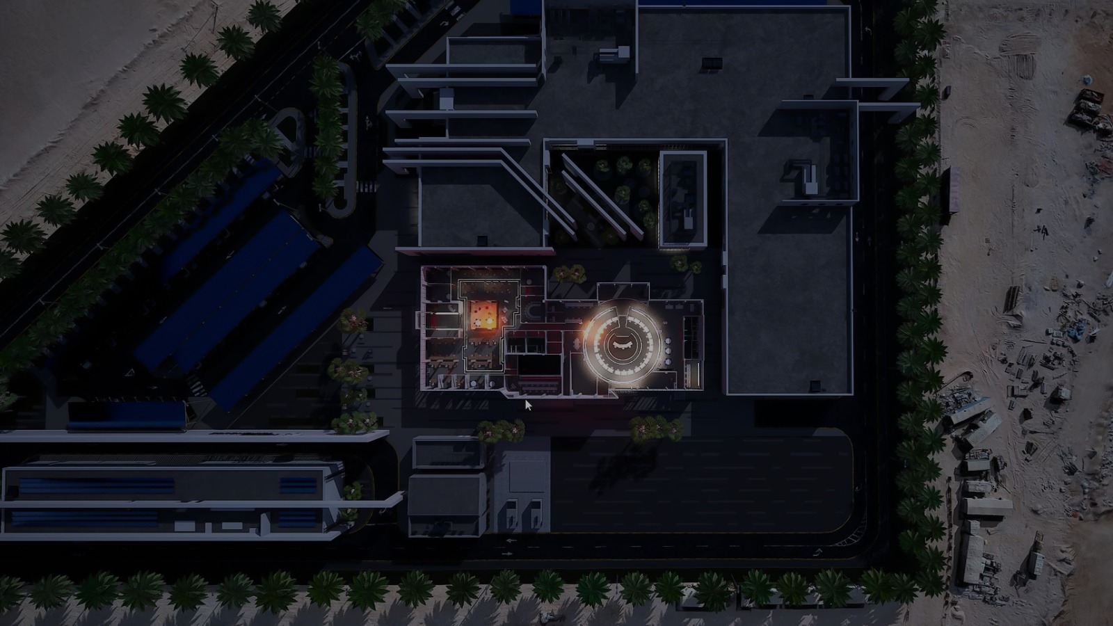
The future of emergency management is not simply faster reaction. It is the ability to anticipate conditions, test decisions, and coordinate action before a crisis escalates.
Cities and critical facilities face increasingly complex risks: extreme weather, infrastructure failures, mass gatherings, industrial incidents, cyber-physical threats, and public health emergencies. Yet many emergency plans remain static documents, disconnected from live traffic, sensor networks, building systems, and changing conditions on the ground.
MetaWorldX Physical AI transforms emergency response from a reactive process into a continuously informed, simulation-driven operation. By combining an AI digital twin, predictive and prescriptive analytics, 3D scenario planning, IoT integration, and real-time monitoring, public safety organizations can evaluate response strategies before deploying them in the physical world.
The result is a more resilient operating model for cities, airports, hospitals, ports, command centers, and critical infrastructure.
The Public Safety Challenge: Emergencies Do Not Follow Static Plans
Emergency planners must make decisions with incomplete and rapidly changing information. A route that appears optimal during a planning exercise may become unusable because of congestion, flooding, construction, smoke, a damaged bridge, or a secondary incident.
At the same time, emergency response typically involves multiple agencies and systems:
- Police, fire, emergency medical services, and public health teams
- Transportation and traffic management departments
- Hospitals and ambulance networks
- Airports, ports, utilities, and infrastructure operators
- Building management, access control, and security teams
- Public communication and emergency operations centers
When these groups work from separate data sources, coordination slows down. Critical information may remain trapped in siloed systems, while decision-makers lack a shared view of how an incident is evolving.
The World Health Organization identifies simulation exercises as a way to validate response plans, test interoperability, reveal resource gaps, clarify responsibilities, and improve coordination. However, conventional exercises can be expensive, disruptive, and difficult to repeat at the scale and speed required by modern cities.
The challenge is clear: emergency organizations need to rehearse more scenarios, with more accurate data, while preserving human judgment and operational control.
How MetaWorldX Physical AI Creates a Living Emergency Twin
A digital twin is a data-connected virtual representation of a physical environment. MetaWorldX extends this concept with Physical AI: intelligence grounded in the real-world geometry, systems, assets, people flows, and operating conditions of a city or facility.
The MetaWorldX platform can combine:
- 3D city, facility, and infrastructure models
- GIS, BIM, and geospatial information
- IoT sensors and environmental monitoring
- Live traffic and transportation data
- Weather and hazard information
- CCTV, security, and operational data
- Building management and access control systems
- Historical incidents, maintenance records, and risk layers
This integrated model gives emergency teams a continuously updated operational picture. Instead of viewing an incident as an isolated alert, decision-makers can understand its spatial and operational context.
For example, a flood warning can be evaluated alongside:
- Road closures and traffic congestion
- Ambulance locations and hospital capacity
- Vulnerable populations and evacuation zones
- Power, water, and telecommunications assets
- Building occupancy and access restrictions
- Alternative routes for emergency vehicles
The digital twin becomes more than a visual model. It becomes a shared environment for preparedness, decision support, and coordinated action.

From Prediction to Prescription: Testing What Could Happen Next
MetaWorldX Physical AI supports two complementary forms of intelligence.
1. Predictive analytics: identifying emerging risks
Predictive analytics uses current and historical data to estimate what may happen next. In public safety, this can include:
- Forecasting flood impacts based on rainfall and terrain
- Identifying congestion likely to delay emergency vehicles
- Detecting unusual crowd movement or occupancy patterns
- Estimating air quality deterioration during a wildfire
- Predicting infrastructure stress during extreme weather
- Identifying areas where emergency resources may become insufficient
Prediction helps teams move earlier. It can trigger alerts, prioritize inspections, and support pre-positioning of personnel and equipment.
2. Prescriptive analytics: recommending effective actions
Prescriptive analytics goes a step further. It compares possible responses and recommends actions based on defined objectives such as response time, safety, coverage, cost, or continuity of operations.
Emergency leaders can evaluate questions such as:
- Should an area be evacuated or placed under shelter-in-place guidance?
- Which roads should be closed first?
- Where should fire, police, and EMS resources be staged?
- Which hospital can receive additional patients?
- How should responders be rerouted if a bridge becomes inaccessible?
- Which critical assets require priority protection?
The platform can test multiple strategies in a real-time 3D simulation, helping teams compare consequences before committing resources.
Prediction explains what may happen. Prescription helps clarify what to do about it.
Comprehensive Scenario Planning in a 3D Environment
A major advantage of an AI digital twin is the ability to run detailed “what-if” scenarios against a spatially accurate environment.
Public safety organizations can simulate:
-
Natural hazards
Floods, wildfires, earthquakes, storms, heatwaves, and other climate-related events. -
Urban incidents
Major fires, traffic collisions, utility failures, structural damage, and hazardous material releases. -
Security events
Unauthorized access, active intruder situations, terrorism-related threats, and crowd incidents. -
Public health emergencies
Hospital surges, infectious disease outbreaks, mass triage, and facility evacuation. -
Complex, cascading emergencies
For example, a severe storm that causes flooding, power disruption, traffic congestion, and hospital access challenges at the same time.
Each scenario can be configured by location, timing, severity, weather, population movement, available resources, and operational constraints. Teams can then compare different response plans and measure their effect on:
- Emergency vehicle travel times
- Evacuation completion and bottlenecks
- Resource coverage
- Facility access and egress
- Infrastructure service continuity
- Hospital and shelter demand
- Expected operational downtime
The same scenarios can support tabletop exercises, command-center training, field coordination, and after-action reviews. This creates a continuous improvement cycle: simulate, evaluate, refine, and rehearse again.
Real-Time Integration with the Systems Already in Use
Public safety organizations rarely have the option to replace every operational system. A practical Physical AI platform must work with the technology already deployed across the organization.
MetaWorldX is designed to integrate with existing:
- Physical Security Information Management systems, or PSIM
- Access control and security platforms
- Building management systems, or BMS
- IoT networks and sensor infrastructure
- GIS and BIM environments
- Traffic and transportation systems
- Emergency communications and command platforms
This interoperability allows teams to preserve trusted workflows while adding a shared 3D intelligence layer. A security alert can be viewed in the context of nearby doors, cameras, elevators, occupancy, and responder access. A building evacuation can be assessed alongside external traffic, adjacent facilities, and emergency vehicle staging areas.
For airports, the model can support passenger-flow analysis, restricted-area incidents, runway or terminal disruptions, and emergency access planning. In hospitals, it can help evaluate evacuation routes, patient movement, surge capacity, and access for emergency services. At ports and industrial facilities, it can model hazardous material events, perimeter risks, worker safety, and continuity of operations.
Integration turns fragmented data into coordinated situational awareness.
Concrete Example: Toronto Emergency Response Planning
The Toronto Digital Twin illustrates how city-scale data can support more proactive public safety and resilience planning.
Toronto faces challenges associated with urban growth, congestion, air pollution, flooding, and extreme weather. The MetaWorldX model integrates information such as traffic, air quality, crime data, road infrastructure, and weather simulations into a real-time simulation environment.
Emergency planners can use this type of environment to test scenarios such as:
- Flooding that affects major roads and bridges
- Severe weather that disrupts transportation networks
- Emergency vehicle routing during peak congestion
- Resource deployment to areas with elevated risk
- Air quality events that require public health intervention
Project documentation indicates that optimized routing and live traffic integration could reduce average emergency response times by up to 15%. That potential improvement demonstrates the practical value of connecting road conditions, infrastructure data, and emergency operations in one operational model.
The same approach can be adapted for other environments, including Dubai’s airport and smart city ecosystems, major developments in NEOM, hospitals, seaports, and large-scale infrastructure projects.

Human-in-the-Loop Governance for High-Stakes Decisions
Automation should strengthen emergency leadership, not replace it.
MetaWorldX supports human-in-the-loop governance, allowing authorized personnel to review model outputs, adjust assumptions, compare scenarios, and approve actions. This is essential when decisions affect public safety, access to critical services, or the movement of large populations.
Human oversight helps teams:
- Validate data quality and scenario assumptions
- Apply local policies and standard operating procedures
- Consider ethical, legal, and community implications
- Account for information that models may not capture
- Document why a particular response strategy was selected
- Maintain clear chains of command and accountability
The platform provides decision support while keeping responsibility with the people and institutions designated to make operational decisions.
The most effective emergency intelligence combines machine-scale analysis with human judgment.
Measuring the Outcome: Faster Response and Lower Downtime
Emergency response simulation creates value by improving preparedness before an incident and decision quality during one.
Organizations can measure outcomes through indicators such as:
- Reduced emergency response and travel times
- Faster incident detection and verification
- Shorter evacuation and clearance periods
- Improved emergency resource coverage
- Reduced congestion around incident locations
- Lower facility and infrastructure downtime
- Fewer unnecessary closures and disruptions
- More effective coordination between agencies
- Reduced cost and risk associated with physical exercises
A useful ROI model compares baseline plans with optimized scenarios. If a revised route saves minutes for emergency vehicles, those minutes can be translated into improved access to care and reduced exposure to risk. If a facility can isolate a disruption while keeping unaffected areas operational, the value appears as avoided downtime and maintained service continuity.
The precise benefit will vary by location, infrastructure, scenario, and data quality. The important point is that digital twin technology gives organizations a measurable way to evaluate response performance before a crisis creates irreversible consequences.
Building Safer, More Resilient Communities
Emergency preparedness is becoming a continuous operational discipline. Cities and critical infrastructure operators cannot rely solely on periodic drills or static plans when risks evolve by the hour.
MetaWorldX Physical AI provides a foundation for more intelligent public safety by combining:
- AI digital twins for spatial and operational context
- Predictive analytics for early risk identification
- Prescriptive analytics for response recommendations
- Real-time 3D simulation for scenario testing
- IoT integration for live monitoring
- Interoperability with PSIM, access control, BMS, GIS, BIM, and other systems
- Human-in-the-loop governance for accountable decision-making
From Toronto to Dubai, from airports and hospitals to ports and future cities such as NEOM, the opportunity is consistent: understand conditions earlier, test decisions more thoroughly, and coordinate action with greater confidence.
The era of virtual emergency readiness is here. Explore the MetaWorldX Physical AI platform to learn how digital twin technology can help your organization simulate risk, improve response times, and build a safer, more resilient future.